Section 4: East Ahuza and a Surprising Fortress in Old Romema | 5.7 Km
Starting point: Corner of Leon Blum St. and Ha'Asif St. | 235m above sea level
Ending point: Hankin Rd., Ramot Sapir Commercial Center | 217m above sea level
This section begins at the traffic lights at the junction of Kish St. and Ha’Asif St.
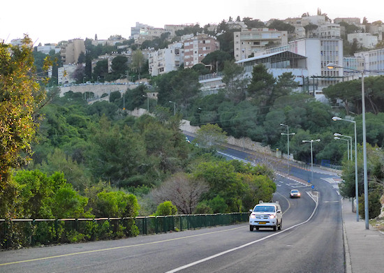
Head down Ha’Asif St. in a westerly direction. This is the northern riverbank of Wadi Even. After about a kilometer the street curves as it crosses the wadi, where its name changes to Bikurim St. From this point, continue up on the same route until the intersection with Shimshon St. This is now the Ahuza neighborhood whose full name is “Ahuzat Samuel”, after Sir Herbert Samuel, the British High Commissioner (we visit the historical parts of Ahuza neighborhood in Section 11).
Take a sideways glance at Zrubavel Steps. Those feeling tired may take a shortcut here to Moriah Blvd – the Carmel Ridge axis – for rest and refreshments.
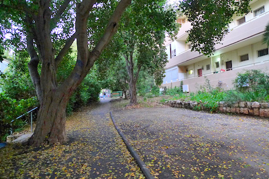
Continue straight into Yotam St. On the right, on the western side of the street, an upper path, shaded by trees, is the recommended route. Continue on this path until the fork where Ehud St. meets Yotam St.
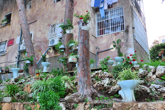
Cross the street and turn left into Ehud St. On the right-hand side, one of the yards is embellished with sanitary fittings whose function has changed…
Between numbers 27 and 29, turn right onto a path that leads to the Yedidya Segal Garden. Yedidya Segal was a member of Etzel – a pre-state underground organization – who was the first child born in Ahuza. Upon reaching the garden, turn left and walk its length to come out once more on Ehud St. Turn left into Ehud St. and right into Sha’ar Hagai St. The street winds down, revealing glimpses of stunning, distant vistas. Walk down Sha’ar Hagai St. until Mivzah Yonatan St. and turn right. If quiet enough, the sound of vehicles travelling in the Carmel Tunnels directly underneath may be heard… This is the edge of a ridge spur, where Wadi Vardia emerges, another wadi located on the north-eastern side of the Carmel Ridge.
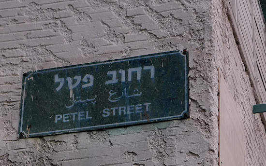
Continue on Mivzah Yonatan St., which becomes Har’el St. Notice the left turning into a narrow street with an unusual name – Petel ("berry"). At the end of Petel St., continue up the steps that lead to Karmi St.
This is now the heart of the Old Romema neighborhood. It began in the 1920s as a small settlement whose members were employed in afforestation and paving. In the 1940s, the construction of housing projects began.
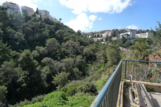
Continue straight on into Mishmar Hagvul St. If time allows, notice the steps descending between number 9 Carmi St. and number 12 Mishmar Hagvul St; they lead to a balcony that looks out over the vegetation of Wadi Vardia.
Go back to Mishmar Hagvul St. Notice number 9 Mishmar Hagvul St., whose small apartments are accessed by open passageways that look over the street.
Continue on Mishmar Hagvul until it meets Keren Hayesod St.
Opposite is an important hill that was settled as early as the Bronze Age. Today, due to the surrounding vegetation and buildings, it is difficult to appreciate that this hill was once of great strategic importance; it looks over a mountain pass that connects the Carmel’s western coastal plain with its eastern part and with Haifa Bay.
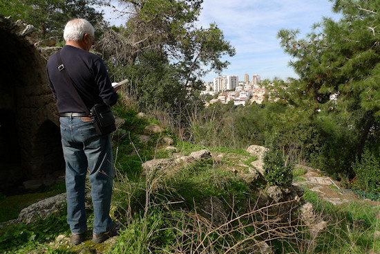
To take a tour of the hill, turn right into Keren Hayesod St. until the roundabout with the olive tree and immediately left up onto an unpaved path. Walk on the left-hand side of the path, where a view of the Vardia neighborhood ridge opens up on the left. At the end of the path, which leads off into several buildings, a narrow path climbs to the right towards the top of the hill where a surprise awaits: a Crusader fortress and the remains of a wall and water cisterns. The fortress, known as “Ra’as Maya”, and “Rosh Mime” in Hebrew, also looks out over Wadi Roshmaya, the large wadi that runs through the north-eastern side of the Carmel. The wadi’s Hebrew name is Nahal HaGiborim. Take care when looking around the ruins, since there are entrances to caverns and tunnels. Walk around the fortress and return to the road arrived upon via the fortress’s southern side back to the roundabout.
From the roundabout, enter Hatzalafim St. (named after the tzalaf [caper] bush), where a variety of building styles may be seen. Walk on the left-hand, southern side of the street. After number 4 Hatzalafim St., turn left onto a narrow asphalt path that leads downward. Bearing right, follow the path’s twisting route down to arrive at a playground. From here, continue on down, bearing left, towards the main road below – Pica Rd.
Continue east down Pica Rd. beside the Municipal Sports Center on to Hankin Rd., crossing Rupin Rd. at the traffic lights. The route now passes between ridges and climbs towards the Ramot Sapir neighborhood ridge. This section of the trail ends in the Ramot Sapir Commercial Center on Hankin Rd.
English translation by Roberta Neiger sponsored by the social hub for community & housing, Faculty of Architecture and Town Planning, The Technion
