Section 5: Urban Nature in the Wadis of the Eastern Carmel – Remez and Ziv | About 2 Km
Starting point: Hankin Rd., Ramot Sapir Commercial Center | 217m above sea level
Ending point: Corner of Berl St. and Pinhas Re'em St. Ziv Neighborhood | 198m above sea level
This section leads into the rugged nature of the Remez and Ziv wadis, so therefore wear comfortable hiking shoes, take a hat and bring sufficient water for a hot day.
The hike takes about two hours.
The section begins in the sports grounds adjacent to the commercial center at the entrance to the Ramot Sapir neighborhood. The neighborhood was established in the 1980s upon an easily distinguishable ridge.
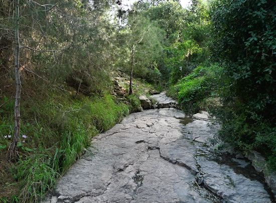
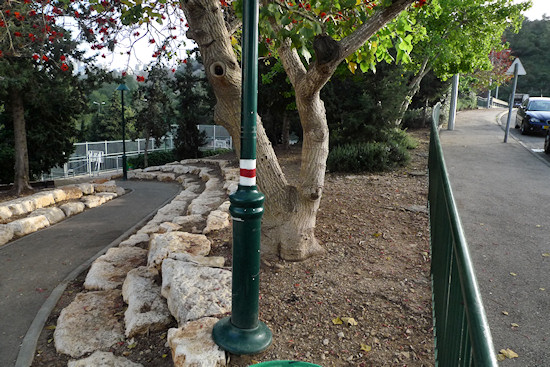
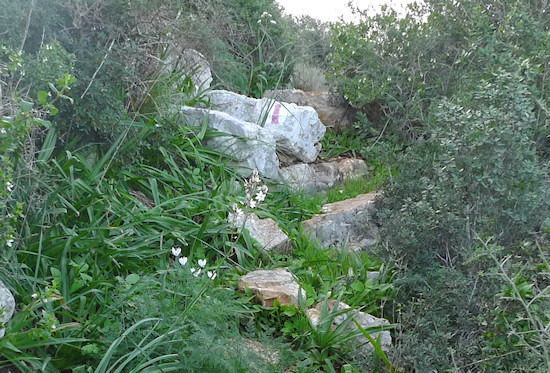
Follow white-red-white trail blazes along the path, provided by the Society for the Protection of Nature in Israel. The path descends to the riverbed of Wadi Remez and the view soon changes from one of conifers into one of Mediterranean vegetation that is indigenous to the Carmel with oaks and terebinths.
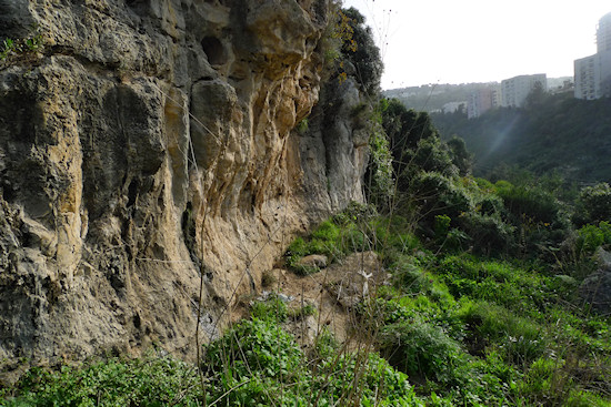
Further on, the path climbs towards the right, eastern riverbank and almost passes through a notch – a long indentation seen in limestone cliffs that is created by water over thousands of years.
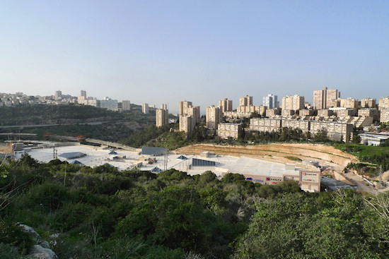
The path now reaches the edge of the Ramat Chen neighborhood ridge spur. Ramat Chen is one of Haifa’s newer neighborhoods and was also built on a distinct ridge in the 1990s. From here, a beautiful view opens up; below is the start of Wadi Roshmaya, Nahal HaGiborim, which has been brutally disfigured by a shopping mall and a spaghetti-like network of roads: the Neve Sha’anan interchange of the Carmel Tunnels. Wadi Remez, along which the route has passed, gushes out somewhere down there into Wadi Roshmaya. Try and imagine where it flows into the Mediterranean…
To the left of the wadi, the Vardia neighborhood is visible and to its right is the Israeliya neighborhood – the mother of Israel’s tower block neighborhoods.
Those who are tired may climb the steps up into the Ramat Chen neighborhood next to the senior citizens’ sheltered living accommodation at number 40 Bat Hen St.
For those who wish to continue on the trail, pay attention to the white-red-white trail blazes that wind around the tip of the ridge towards Wadi Ziv – another tributary of Wadi Roshmaya. The marked path descends to the riverbed and enters a tangled thicket. From this point, the path begins to climb. The path continues on pleasant limestone surfaces, passes a waterfall and after a short while leads back to urban civilization on Pinhas Re’em St., which leads, via Berl St., to the Ziv commercial center where refreshments may be taken.
English translation by Roberta Neiger sponsored by the social hub for community & housing, Faculty of Architecture and Town Planning, The Technion
