Section 10: Zig-zagging down the Carmel ridge en route to Ahuza | 6.8 Km
Starting point: Aba Hushi Blvd., Junction of Haifa University north entrance | 440m above sea level
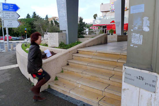
Ending point: Horev St., corner of Freud St. | 280m above sea level
In this section you will generally descend and head northwest to one of the main commercial and transportation hubs along the crest of the Carmel – the Horev Center. The walking route takes you in a zigzag around the water divide, mainly through the neighborhoods on the western side of the ridge. Thus, you will be able to enjoy views overlooking the western Mediterranean shores of Haifa.
This section begins on Aba Hushi Blvd. as you exit the university. Walk down to the junction of Aba Hushi and Oskar Schindler streets and turn left, westward, to Sweden St. – one of the entrances to the Hod HaCarmel neighborhood, better known as Danya.
With the developing settlement on the Carmel, locations high above sea level turned into status symbols. Danya, the highest of all Haifa neighborhoods, became the most prestigious place to live in the city. The neighborhood covers an especially long expanse, 2.5 km in length, between Wadi Neder in the south and Wadi Ovadia in the north. Danya’s western section is so far from the main Carmel ridge that it is almost connected to the northern parts of Tirat Carmel, a separate municipality from Haifa.
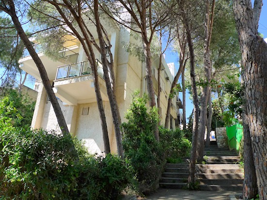
From Sweden St. turn right to Liberia St. to get a glimpse of the neighborhood’s impressive homes. Continue on Liberia St. and opposite Liberia #24 go down a path and stairway to Danya St.
Construction of this neighborhood began in the 1960’s by “Danya Cebus” construction company, which called the neighborhood’s main road Danya. This name has stuck to the neighborhood as a whole. Those interested in detached construction can continue to wander through the neighborhood, before heading to the junction of Danya and Aba Hushi, back at the Carmel ridge.
Next to the junction is a small park and playground, as well as an unusual monument: two rows of railroad tracks emerging from the ground. These are the remains of obstacles erected in 1942 by the British, in anticipation of a German invasion.
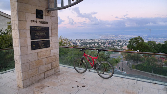
Cross Aba Hushi Blvd. to the east side and continue downward, to the northwest. The view suddenly opens east between the tall buildings to a formal observation point called Zaid Lookout Point. Look down – two numbers are imprinted on the floor. Can you understand their meaning? This viewpoint is named for Shaul Zaid, one of the first surveyors in Israel. Not without significance, these numbers mark the exact geographical coordinates where you are located.
From the observation point, continue to go down Aba Hushi Blvd. and after six houses, descend through an open area between buildings that leads to Blitental St., where you turn left.
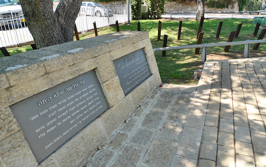
Near the large traffic circle sits Four Girls Garden, which was created in memory of four girls who travelled together in South America and perished in a traffic accident in Bolivia’s Salar Desert. The park offers a playground and impressive vistas of the Galilee. The area surrounding the park is the Ramat Almogi neighborhood, named for Yosef Almogi, former mayor of Haifa and government minister.
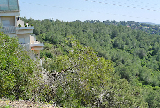
From here turn left below the bridge (under which passes Aba Hushi Blvd.) to a traffic circle that connects Laskov St. with Yehezkal Kaufmann St. Turn right to Kaufmann St. You are now in Ramat Golda, which was built in the 1990’s. Here a wonderful view of Wadi Ovadia stretches before you and extends to the Danya neighborhood and to the sea.
Walk down Kaufmann St. and at the next traffic circle turn left onto Yona Angel St. which turns into Pinchas Rosen St. On the left side of the street, you see a view of the wadis.
Connect back to Kaufmann St., turn left and hook up with Aba Hushi Blvd. Turn left on Aba Hushi in a northwesterly direction.
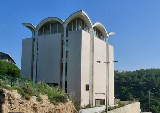
Continue on Aba Hushi downwards, and between buildings numbered 14 and 16, go down a stairway that ultimately leads through a parking lot to Moshe Soroka St. Go down Soroka St. to the traffic circle. On the left, you will see an interesting structure that houses the Rambam Research Institute.
Turn right onto Tzvi Ben Yaakov St. and another right to A.Z. Greenberg St. At the curve of the road, which marks the crossing of the wadi, turn right onto a path that rises between the houses and leads you to Shimkin St. Dr. Nahum Shimkin was director of Haifa’s first hospital until 1927. Turn left onto Shimkin St. and right to the short street, Avraham Karib.
From the parking lot on the edge of the street, go rightwards to a path that snakes through the houses to Lionel Watson St. A New Zealander, Watson was Haifa’s municipal engineer from 1934 to 1951. A greatly admired public servant, Watson remained in the city even after the British Mandate period. Go up Watson St. and connect with Aba Hushi Blvd. Cross Aba Hushi at the junction and at the continuation of the curve, go up the stairway to Zamenhof St.
Continue on Zamenhof until the large traffic circle that connects with Yaarot St. On the right is the sprawling campus of The Hebrew Reali School. Continue straight on Zamenhof St, curve with it to the right and continue until it meets up with Albert Einstein St. Turn right onto Einstein St. Cross the street and between houses numbered 95 and 97 enter the path that descends to a forested area. As you are going down, note that the lots on this side of Einstein St. contain two buildings, one after the other. This best utilizes the area between Einstein and the parallel street, Yakinton. The significant difference in the heights of these streets is problematic for construction. This makes for an open area where you find a wonderful forested path.
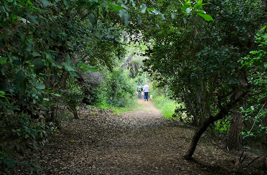
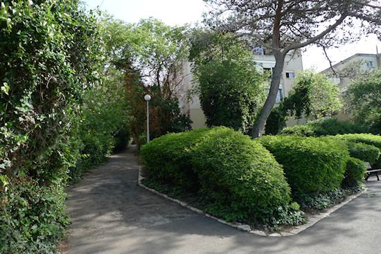
Now, turn left to the northwest along the path in the wooded area, while on your left you see houses that line Einstein St. On the right are the houses of Yakinton St., which becomes Hanke St. On the way, pass through a public garden, named for Daniel Menzel. Continue on this land through the woods until you reach another park, and a nearby sports court. Here turn left onto a path and stairway that brings you to a spot on Einstein St. between numbers 39 and 41. Turn right on Einstein and left between the houses numbered 26 and 28 to a path. The path curves slightly left and brings you to Givat Downs St., named for Lady Florence Downs, sister-in-law of Edmund Allenby, who led the British conquest of Palestine in WWI. Lady Downs fell in love with the Carmel and built a home here. Her house, on Givat Downs 21, was destroyed over the years.
Turn right on Givat Downs and again right to Yaarot St., one of the most beautiful streets in Haifa. In the 1920’s, when the Ahuza neighborhood was in its infancy, the hill on which you walk was exposed and local residents nicknamed it “Ventura hill“ after the hut of Itzhak Ventura, one of the neighborhood’s original residents. Yaarot St. turns to stairs, which you descend to Einstein St. This street takes you down to the continuation of Aba Hushi Blvd., which becomes Horev St.. At the large junction with Freud St., we will conclude this segment.
You are now in the heart of the Ahuza neighborhood. “Horev Center”, built in 1987, dominates and symbolizes Ahuza’s transformation from an agricultural neighborhood to a bustling commercial hub whose architectural and urban qualities disappeared with intensive development.
English translation by Roberta Neiger sponsored by the social hub for community & housing, Faculty of Architecture and Town Planning, The Technion
