Section 15: From Gan Ha'em to the sea through Wadi Lotem | 4 Km
Starting point: HaNassi Bd., Gan Ha’Em (Mother’s Garden), Central Carmel | 275m above sea level
Ending point: Corner of HaHagana Blvd. and Etzel St., Gas Station | 10m above sea level
This section leads down the longest wadi on the Haifa trail. Be prepared to spend at least three hours in wadi Lotem; wear comfortable shoes, carry water and sunscreen on a hot day.
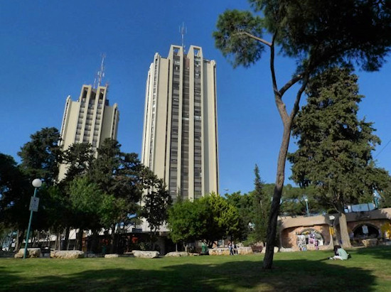
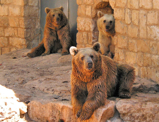
The section begins at Gan Ha’Em park. The park was established in 1913. Its name was a tribute paid by Abba Hushi to the mother’s central role in the family unit. Haifa’s Educational Zoo is located in the park, in part of the upper slope of wadi Lotem. It houses animals typical to other places in the world as well as those that once roamed the Land of Israel and that are now extinct.
Gan Ha’Em is also the highest point of wadi Lotem which extends over a relatively large area on the north-western part of the Haifa Carmel.
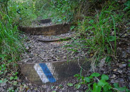
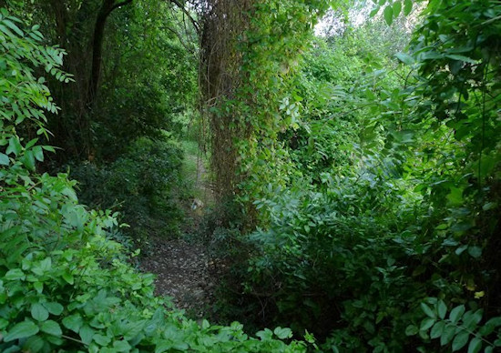
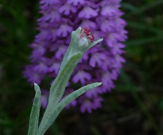
The Society for the Protection of Nature’s blue trail blazing guides hikers along the track in a downward direction and soon draws them into the natural Carmel thicket that dominates here. Among the more conspicuous plants here is the Laurus nobilis, more commonly known as bay leaves. In winter and spring, beautiful flowers carpet the banks of the wadi. On rainy days, the wadi flows and walking down becomes a particularly wet experience for those who love this kind of adventure. When the rocks are exposed, hikers can see that they are walking on limestone slabs, the sedimentary rock from which the Carmel ridge and most of Israel’s mountainous areas are formed.
Those who feel tired before reaching the end of this section, may “cut out” from the track through a path marked in green blazes that leads sharply up through ancient terraces to HaYam Rd.
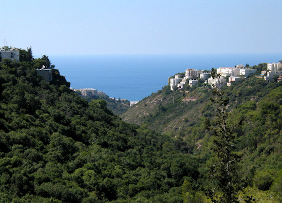
The remainder of the track is marked in blue and leads down the incline of the ravine. Here, the different character of the two slopes that define the ravine may be seen. The slope on the right faces south, it is more exposed to the sun and is characterized by sparse vegetation, while the left slope faces north, is shady and therefore has richer vegetation.
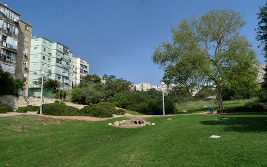
After experiencing nature in the middle of the city, the view is suddenly again urban, but in a completely different area in the neighborhoods beside the sea. The trail’s route leads to Harav Refael Ankoa St. in Sha’ar HaAliyah. Turn right and cross the street at the pedestrian crossing at the roundabout. Turn left back to Harav Refael Ankoa St. and back again right onto the route of the wadi in a grass-covered area among the buildings until reaching HaRotem St. On HaRotem St., turn left, heading south and on Etzel St., turn right until the junction with HaHagana Blvd – the main road that runs along the western side of the Haifa coastline. Cross the road to arrive at the gas station and parking lot where this section of the trail ends.
English translation by Roberta Neiger sponsored by the social hub for community & housing, Faculty of Architecture and Town Planning, The Technion
