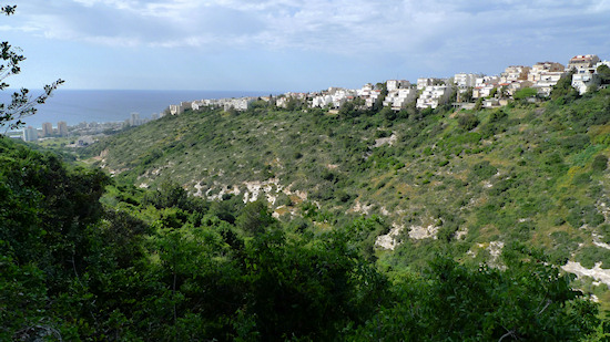
Segment 14: Kababir and Central Carmel – Multiculturalism on the Carmel | 3.3 Km
Starting point: Corner of Rabwa St. and Ra’anan St., Kababir | 178m above sea level
Ending point: HaNassi Bd., Gan Ha’Em (Mother’s Garden), Central Carmel | 275m above sea level
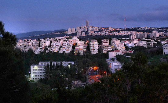
This section of the trail passes through several interesting neighborhoods.
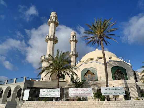
It starts on Ra’anan St. in Kababir, the location of the Mahmood Mosque. The mosque, with its two minarets a prominent landmark, is the heart of the Ahmadiyya Muslim community that characterizes the neighborhood. This is the only Ahmadiyya Muslim community in Israel and the mosque serves as the movement’s center in the Middle East.
The Ahmadiyya movement was founded in the Indian province of Punjab in 1899 by Mirza Ghulam Ahmad after whom it was named. The movement espouses a new interpretation of the Quran and promotes tolerance between religions and peoples. Displayed on the mosque’s ground floor are the movement’s various publications including a version of the Quran in several languages, even Yiddish.
From the mosque walk in an easterly direction up Ra’anan St. and turn left into Jalal Ad-Din St. From here, turn right into Al-Mahdi St., named in honor of the founder of the Ahmadiyya movement. On this street, the low-rise buildings with fruit trees in the yards lend the neighborhood the aura of a village that is slightly reminiscent of Kababir’s past before it was incorporated into the Haifa metropolis.
There are two versions of the origin of the name “Kababir". One is that it is the plural form of “kubar”, the caper plant, while the second relates it to the word “kubabara,” lime pits, found in the adjacent Wadi Amik, which were a source of income for the village residents.
From Al Mahdi St., turn right into Uddeh Nada St. heading down until it meets Ra’anan St. again. The trail now bears left going up Ra’anan St., but before continuing, it is worth taking a look at the neighborhood’s modest cemetery - turn right on Ra’anan St. in a downward direction. On the left, at number 57, is the small cemetery from which there is a beautiful view over Wadi Siah and the Mediterranean coastline.
On Ra'anan st., opposite number 28 is Yiftah Garden, where another beautiful view opens up towards Wadi Siah and the coastline.
Continue on Ra’anan St. and turn right into Kadima St. in an upward direction. Turn left on Lilach St., which later becomes a path, to arrive at David Pinsky St.; turn right.
This marks the beginning of the Central Carmel neighborhood.
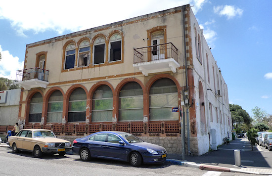
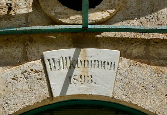
Notice the interesting windows on the façade of 11 David Pinsky St. Turn left at the roundabout onto Keller St., named after Friedrich Keller, one of the German Templars. Not only did the Templars settle at the foothills of the mountain but, from 1885, also here in “Carmelheim”.
Continue north on Keller St. On the way, take a look left into Ha’Broshim Blvd. On the right is an interesting building that was the first Jewish hotel on the Carmel – the Herzliya Hotel – owned by the Halevy-Epstein family. The hotel hosted distinguished guests, such as Lord Balfour and Chaim Weizmann.
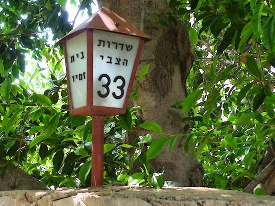
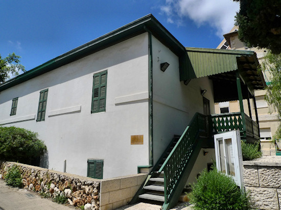
Further on is the junction with Hatzvi Blvd where many buildings date from the Templar period; they may be identified by their pleasant stone walls. The trail continues left on the slope of Hatzvi Blvd., but before turning, continue a little further on Keller St. to see another two important Templar buildings: at number 2 is the home of Friedrich Keller and beside the path that turns from Keller St. right towards the Haifa Auditorium, is the Hecht Cultural Center. This magnificent stone building began life as a hotel during the early days of “Carmelheim”.
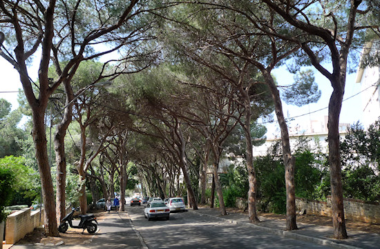
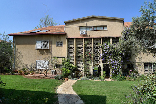
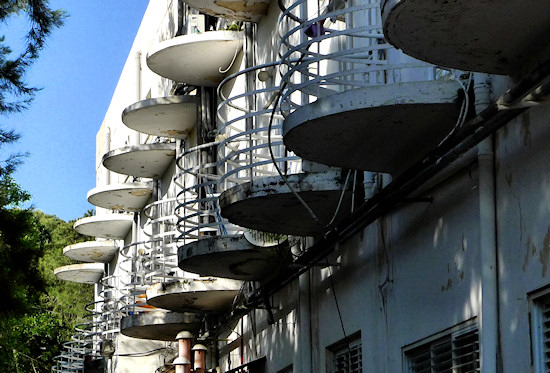
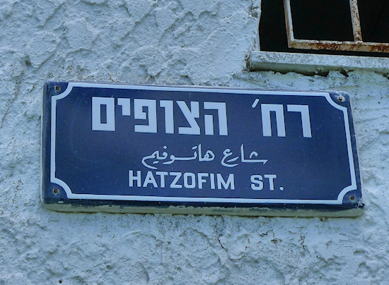
Return to Hatzvi Blvd and head west. The trees in the boulevard were planted by the Templars – a gift to Haifa’s residents – and today the boulevard is one of the most beautiful streets in Haifa. Turn right into Hatzofim St. On the left is an impressive gate behind which is an extraordinary residential complex – the refinery workers’ neighborhood. Here, the residential buildings look exactly like a kibbutz in the middle of the city and were built during the British Mandate period for senior employees of the oil refineries.
From Hatzofim St., turn left into HaYam Rd. HaYam Rd., as its name suggests, descends to the sea (yam in Hebrew), but the trail follows it only for a short while before turning right into Eshkolot St. arriving at Shoshanat HaCarmel St.; turn right again. Walk up the street. The buildings on the left, to the north, look over Wadi Lotem, the longest of the streams on the Haifa Carmel (the trail takes in Wadi Lotem in Section 15). Here, too, buildings constructed in the International style, appropriate to the period when the area was constructed (the 1930s and 1940s), are clearly identifiable. Shoshanat HaCarmel St. again meets HaYam Rd. and ascends to HaNassi Blvd – the heart of Central Carmel.
This urban center was constructed at the beginning of the 1940s and designed by the architect Adolf Redding; it combines commercial and residential buildings. Turn left on HaNassi Blvd to approach the entrance to Gan HaEm, where the Carmel’s highest subway station is located, marking the end of this section of the trail.
It is well worthwhile walking up HaNassi Blvd. to Megiddo Alley on the other side of the street in order to take a look at the Saint Maximus Monastery, which was constructed in 1903 and served as a hostel for Christian pilgrims.
English translation by Roberta Neiger sponsored by the social hub for community & housing, Faculty of Architecture and Town Planning, The Technion
