Section 13: Wadi Siah and Khayat Orchard - Nature, Water and History | 2 Km
Starting point: Between 4 and 6 Lotus St. | 287m above sea level
Ending point: Corner of Rabwa St. and Ra’anan St., Kababir | 178m above sea level
Wadi Siah is perhaps the quintessential Haifa wadi. It is located between the Carmeliya promontory in the south and the Kababir promontory in the north. The origin of its names is Arabic, meaning “hikers’ ravine”, because of the affection hikers have felt for it over the ages, and with good reason; there are few sites in Haifa, or in Israel for that matter, that combine natural vegetation, wonderful views, interesting rock formations, archeological remains and springs with numerous bathing pools.
This section starts between 4 and 6 Lotus St. where a sign points towards the wadi. It is indicated by the Society for the Protection of Nature in Israel black trail blazing. The descent down the ravine takes approximately two and a half hours. Wear comfortable shoes and carry enough water.
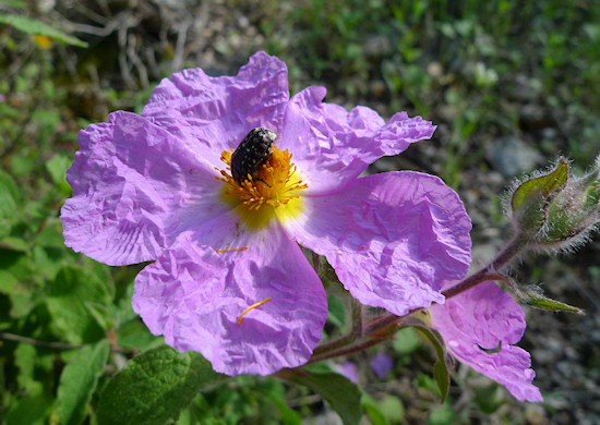
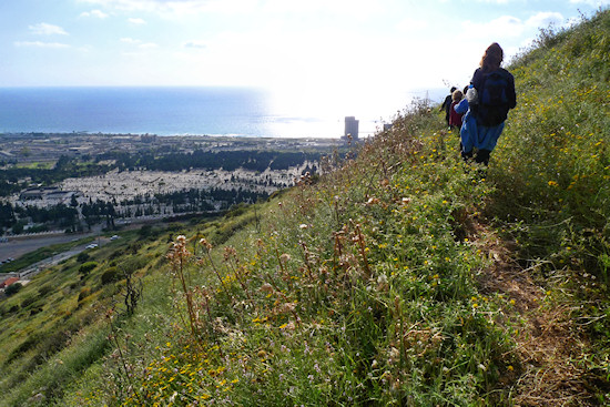
The wadi’s route takes in the Mediterranean vegetation typical of the Carmel; in the summer expect to see the yellow flowers of the Genista fasselata, endemic to the Carmel. On the descent down the wadi, the view begins to open up. The remains of a lime furnace (a pit lined with stones), where limestone was burned in order to create the quicklime used in construction, may be seen where the gorges of the wadi meet.
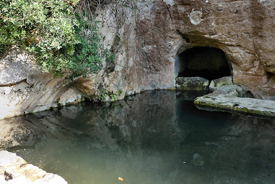
Further on, on the southern bank of the wadi, are impressive agricultural terraces, upon one of which the trail passes. A group of cypress trees signifies one of the most popular spots in the wadi, the lovely “Ein Meshotetim” (“explorers’ spring”) , which commemorates the activities of the “Agudat Hameshotetim”, established by Pinchas Cohen, considered Israel’s hiking pioneer, in 1916. The spring emerges into a small pool that is suitable for bathing.
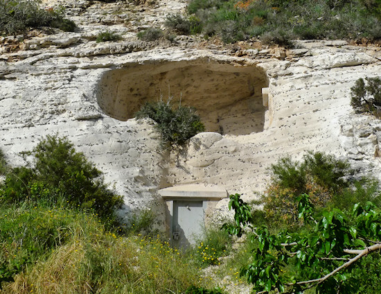
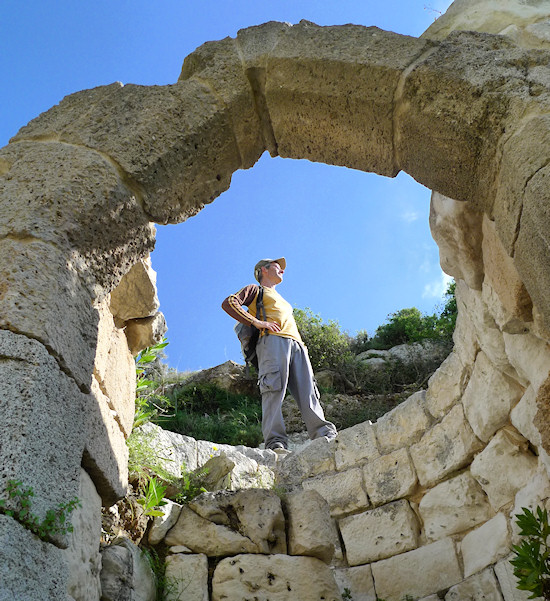
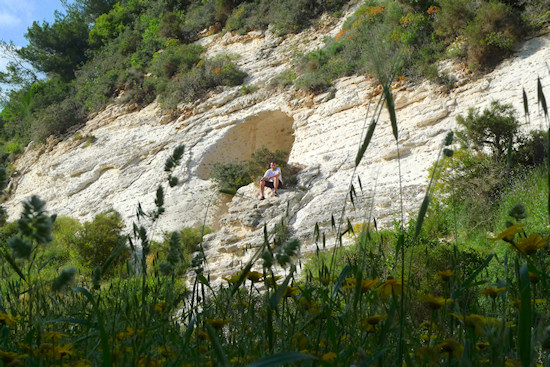
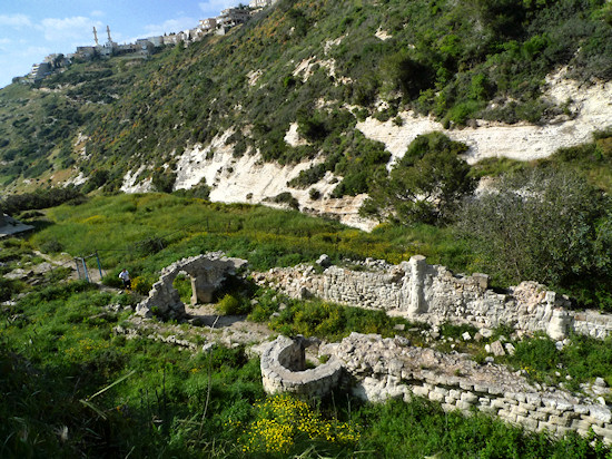
Where there is water, there is life and during the 12th century in the Crusader period, the monks of the Carmelite order chose this location as the site for their seclusion. The natural caves on the slope of the mountain where the monks lived may still be seen. Nearby are the spectacular stone remains of the 13th century monastery and church. Upon the fall of the Crusader kingdom, the buildings were destroyed, and the Carmelites renewed their activities in the area at other sites, one of which is Stella Maris (visited in Section 18 of the trail).
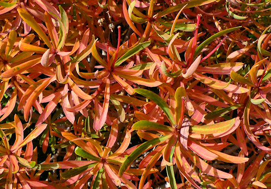
Continue down the ravine. Beside exposed, shiny rock, the view opens up. In summer, the convolvulus dorycnium paints the slopes of the wadi red.
The trail reaches another spring with a small, shallow pool – "Ein Siah" – that in the past was used as water source for neighborhoods on the Carmel.
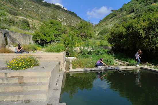
At the lower part of the wadi is “Bustan (orchard) Khayat”, established by one of Haifa’s distinguished families as a refuge from the bustle of the city. Here are fruit trees, shady corners and inviting pools. The “Coalition for the Protection of Bustan Khayat” uniting residents and organizations, whose mandate is to protect and develop the orchard, has been active for many years and from time to time organizes interesting events here.
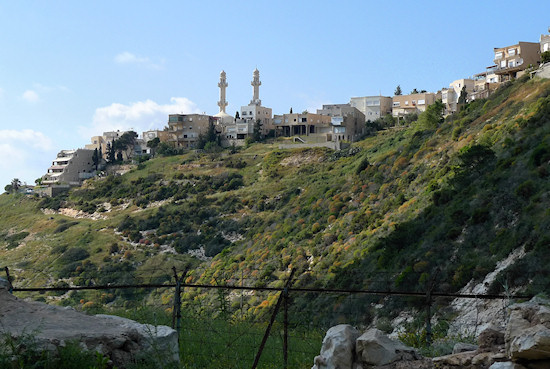
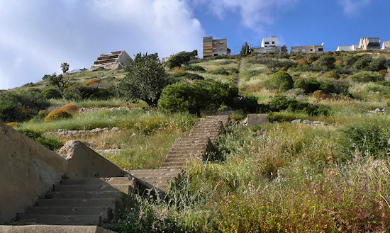
In the orchard, the trail turns right, away from the black blazing to the ravine’s northern bank and climbs up a long flight of steps north into the Kababir neighborhood. At the top of the steps, be sure to turn left towards a narrow path that leads to the tip of the promontory upon which the neighborhood was built. From here is a dramatic view of the Mediterranean coastline. Walk carefully and climb up. The narrow path becomes a dirt track that leads to Rabwa St. Turn right into Ra’anan St. in Kababir to arrive at the mosque. It is also possible to climb up from the dirt track straight into the children’s playground at the foot of the mosque.
English translation by Roberta Neiger sponsored by the social hub for community & housing, Faculty of Architecture and Town Planning, The Technion
