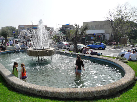
Section 12: Shambur towards Carmeliya – a corner of the western Carmel | 2 Km
Starting point: Moriah Blvd., corner of Kiryat Sefer, David HaCohen circle | 285m above sea level
Ending point: Between 4 and 6 Lotus St. | 287m above sea level
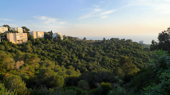
The section takes us to the Shambur neighborhood. The name “Shambur” is a distortion of “Shanbur”, the name of the Kababir landowner who sold the land which now bears his (incorrect) name. Start at the round-about of Kiryat Sefer and turn west onto Litanis St., the neighborhood’s southernmost point. Continue down this sloping street. Glance to the left, where forested vistas appear between the houses, and open to one of the Wadis that drains the western slopes of the Carmel – Nahal (Wadi) Ezov.
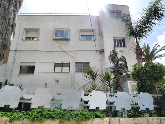
Continue to the fork in the road opposite Litanis 17 and turn right to the inclining Kidron St. Wander a bit on this quiet street with its modest houses. At number 18, on your left, is a small apartment building with an open stairway. Its style appears commonly in Carmel neighborhoods and adds a slightly kibbutz-like atmosphere. The route continues between Kidron 23 and 25.
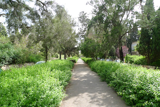
Go up a paved path that leads to Hayarkon St. On the right, is number 48 – Beit Yad l’Banim community center. Head for the street before you, Ha’Nadiv Blvd. This boulevard honors the name of the well-known benefactor, Baron Benjamin (Edmond) de-Rothschild, who among other things, contributed to the establishment of “The Great Mills” and to the Haifa medical center, B’nai Zion. The boulevard is graced with impressive homes. On the right, at number 7, a sealed façade hides a striking contemporary house planned by architects Pichou Kedem, Irina Goldberg and Hagar Ben Zvi. In contrast, on the left at number 2, stands a typical “International style” building, designed by architect Yitzhak Sirkin in the 1930’s.
From the boulevard, turn left to the main thoroughfare of the Carmel crest, Moriah St. Continue on Moriah and opposite the turnoff to Zrubavel St, cross the street. Stay on Moriah until you reach, on the right, a stone wall above which is a sign that reads “Cinema Café Moriah”. A close examination of the building will reveal that the cinema is actually built upon a pool, part of the city’s urban waterworks. The cinema, one of the last surviving urban cinemas, still works (remember “Cinema Café Amami” in Neve Sha’anan from Section 6?).
After the cinema, turn right into Spector Lane. Notice the projector hidden among the shrubs. At the end of the lane is a “pocket garden” with a memorial to Carmel residents killed in the War of Independence. Return to Moriah St. and turn right to walk the length of the street. On the first pedestrian crossing, cross the road into the commercial area, opposite which is the memorial to Galician Jewry.
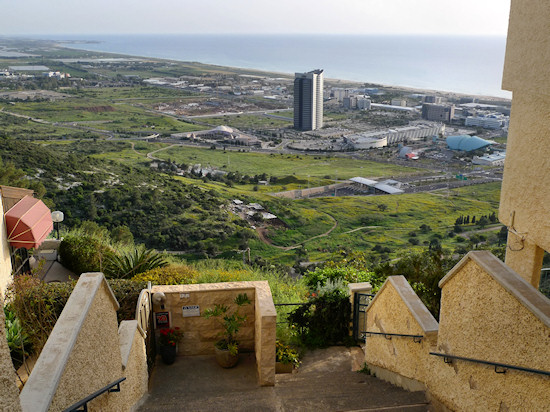
Now, let’s deepen the impression of the Shambur neighborhood; from the Galicia memorial, enter the street parallel to Moriah St., Hayarkon St., and turn left walking in a southerly direction. Take in the manicured gardens and the sea views between the buildings. This view has recently been under threat due to the efforts of property developers to encourage residents to add more apartments to their buildings. Parking necessitates the addition of parking spaces at the expense of the immaculate gardens, an identifying feature of many Haifa neighborhoods.
Between numbers 14 and 16 Hayarkon St., turn right onto the Dan Steps that lead down to Margalit St. Cross Margalit St. and enter Ofakim St., one of the most beautiful streets in the neighborhood. The land here was acquired by a group of demobilized officers who served in the British army and who later fought in the War of Independence. At number 23 is the winery of the Vortmen family. During the winery’s early days, even the vines grew here at the foot of the building towards Nahal Ezov.
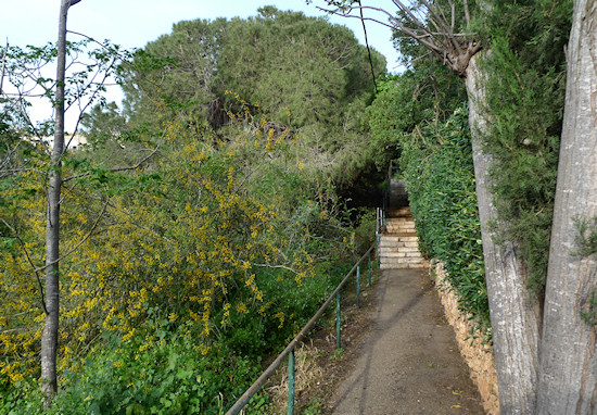
Continue to the end of Ofakim St., which becomes a forest path. Continue on the path that winds and eventually merges with steps to Margalit St. Turn left and at the fork continue left into Gilgal St., which leads into Rahel St. Turn left into Rachel St. and between numbers 20 and 24, turn right into Yehuda Lane, named after Lieutenant Colonel Yehuda Carmi, one of the Hagana’s commanding officers in Haifa. The lane leads to Tzafririm St.; turn right. Upon reaching the intersection with Heinrich Heine Square, look left at 22 Heine St. Today, it houses the Ohel Shem Synagogue, but in the past, the building, which was designed by the architect Moshe Hat in 1944, was a nightclub, the “Piccadilly"...
Continue on Tzafririm St., which merges again with Heinrich Heine Square St – this street has a horseshoe shape. Turn left into Heine St. On the left is a 1930s building designed by Moshe Hat that has seen better days. This was once the Lev Hacarmel Hotel, and later a senior citizens’ home until it was closed and abandoned. This is one of the most unique buildings in the area and represents the restrained architectural character typical of the neighborhood. In recent years property developers have been attempting to promote development in this land plot that would destroy the neighborhood’s unique character.
Turn right into Ayalot St. to reach Moriah St. Turn left on Moriah St. Further on, look right at buildings on both sides of Sport St. that branch off from Moriah St.; both typify the 1930s International style. Continue on Moriah St. and turn left into Hamayim St., which leads to the old water tower in Ahuza that was designed by the architect Yohanan Ratner in the 1930s, beside which is the neighborhood’s fire station. On the way, notice on the left the Villa Carmel Hotel – the building was constructed in the 1940s as the Vechtel Hotel and was one of the most luxurious hotels of its time. In Shmuel Ha’Cohen garden that encircles the water tower, take a rest and look at the abandoned building of the Lev Hacarmel Hotel.
From the water tower, continue into Argaman St., which leads to Lotus St. and turn left. On the left, observe number 30 Lotus St. – this is Beit Eisner, designed in 1936 by the architect Yosef Klarwein who also designed “Beit Ha’Kranot” in Hadar seen in Section 2 of the trail. Continue on Lotus St., towards buildings number 4 and 6 – where the section ends.
Note: If energy levels permit, it is possible to wander around the Carmeliya neighborhood. Upon reaching Rachel St., continue along its length and join Ruth St. and then Naomi St. – between the buildings along the streets a beautiful view of the western reaches of the Carmel and the Mediterranean Sea opens up. From the end of Wizo St. at the lower end of the neighborhood is a panoramic view of the sea.
English translation by Roberta Neiger sponsored by the social hub for community & housing, Faculty of Architecture and Town Planning, The Technion
